Professional drone services are changing how teams inspect assets and plan job sites by collecting detailed data quickly and without placing people in hazardous positions. For many organizations, professional drone services now bridge the gap between slow manual inspections and costly options like scaffolding or manned aircraft.
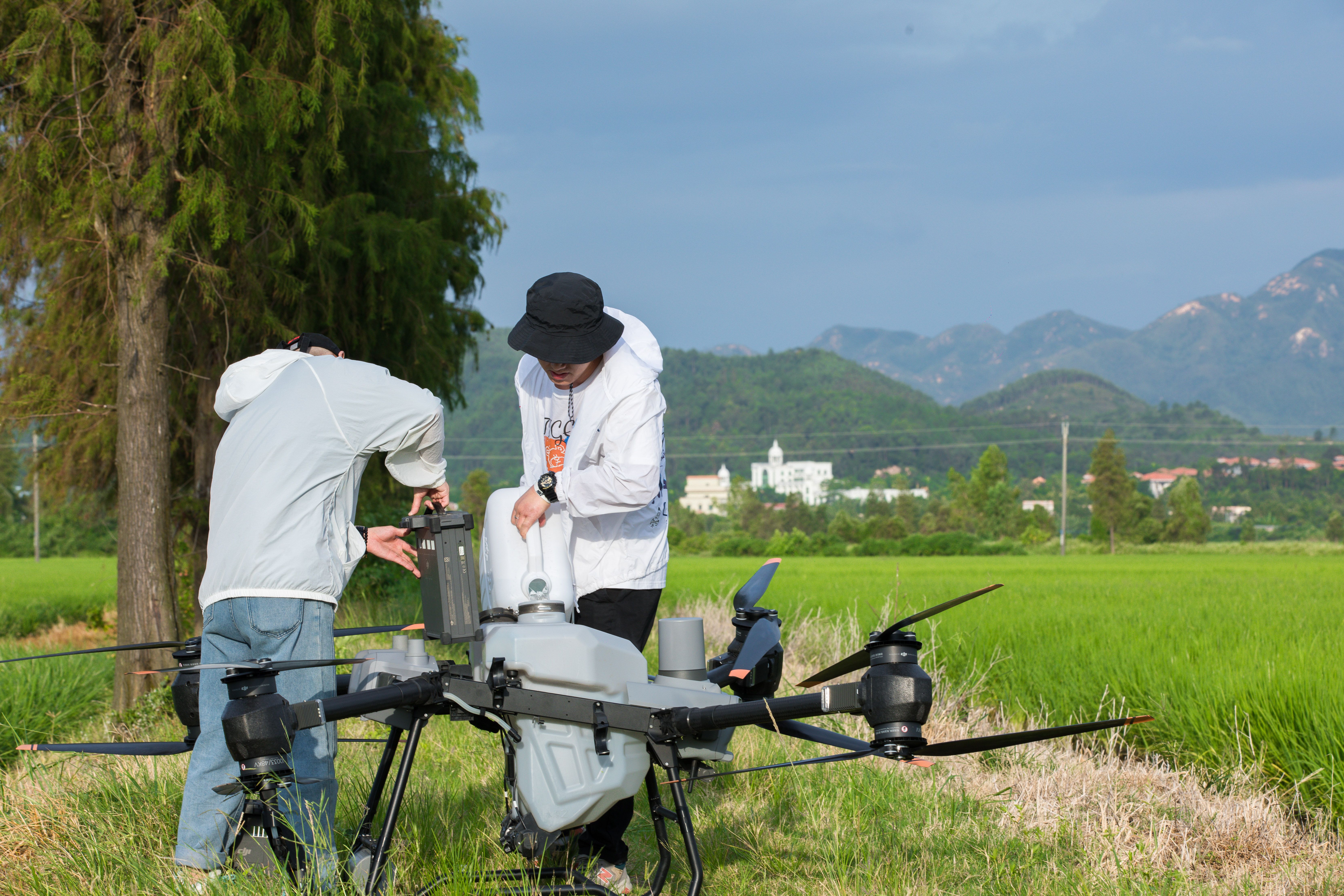
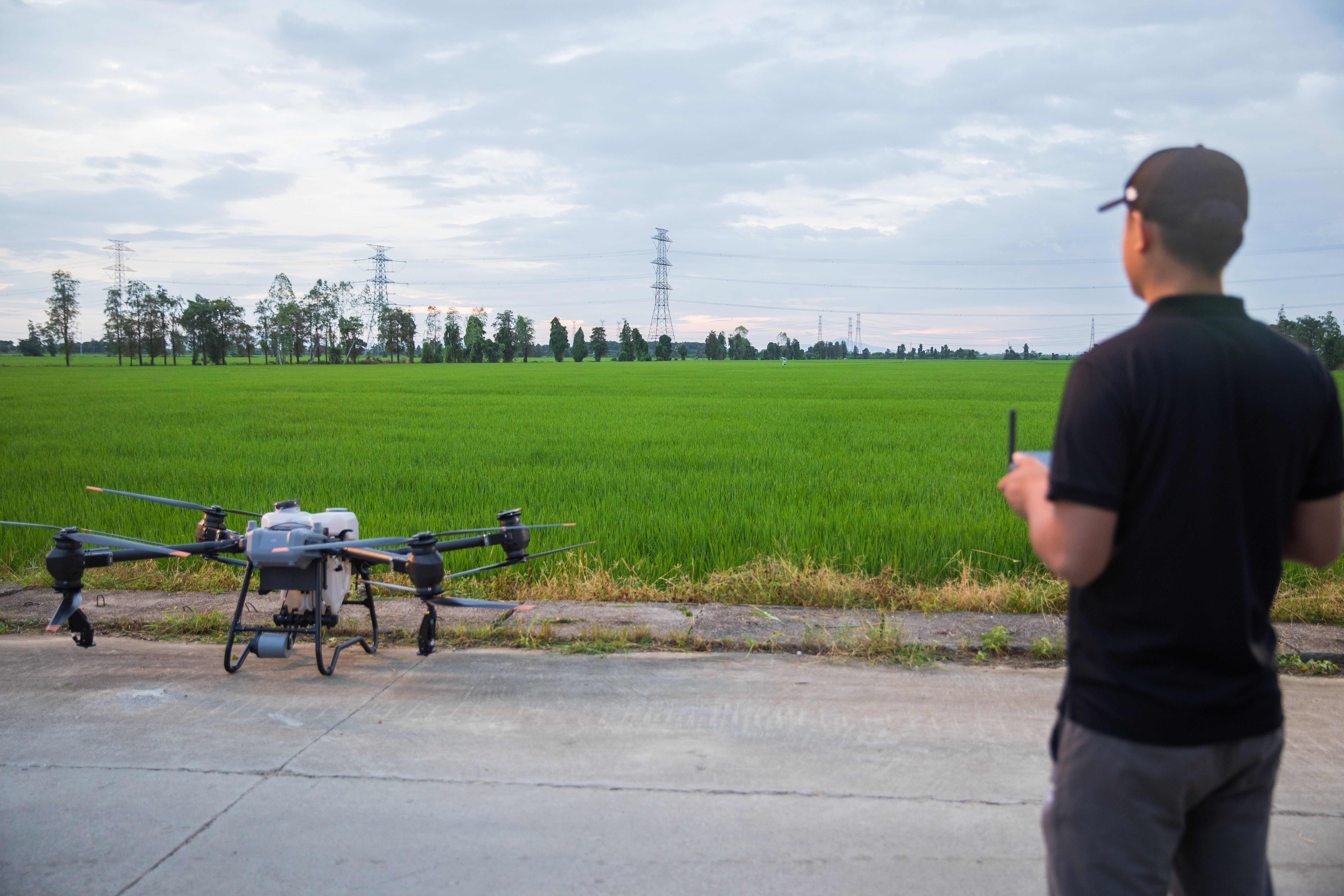
At Specialty Drone Solutions, teams use drone inspection services and drone mapping services to understand site conditions before small issues become delays. From industrial drone inspections to drone site planning for construction and infrastructure projects, aerial data supports smarter decisions using clear visuals and measurable outputs.
If you are evaluating commercial drone services for an upcoming project, the sections below explain where drones add the most value, what deliverables to expect, and how to ensure the results are usable for both field crews and office teams.
What Professional Drone Services Include
Professional drone services typically fall into three core categories:
- Inspection-focused flights that capture close visual detail of assets
- Survey and mapping flights that generate measured site data
- Progress and documentation flights that record consistent visuals over time
The difference between hobby drone footage and professional results comes down to planning and process. A qualified provider plans flight paths, manages safety, documents site conditions, and delivers files that engineers, inspectors, project managers, and owners can actually use.
Common deliverables include
- High-resolution photo sets
- 4K video clips for documentation
- Ortho mosaic maps created through drone mapping services
- 3D models of structures or terrain
- Point clouds or surface models for measurement
- Annotated reports highlighting issues or areas of concern
How Drone Inspection Services Improve Safety and Speed
Inspections often involve height, heat, confined access, or large footprints. Traditional methods may require lifts, rope access, shutdowns, or sending staff into unsafe environments. Drone inspection services reduce direct exposure by allowing teams to capture close visuals while remaining in controlled areas.
This approach is especially effective for
- Roof inspections with steep slopes or fragile surfaces
- Industrial facilities with restricted or hazardous access
- Large structures such as tanks, stacks, bridges, and towers
- Solar farms where walking every row is time intensive
- Remote sites where travel time drives up cost
Drones also accelerate decision-making. Instead of waiting days for a full manual report, teams can review imagery the same day and prioritize repairs, monitoring, or follow-up actions.
How Aerial Surveying Solutions Support Site Planning
Site planning improves when teams have current visuals and accurate measurements. Aerial surveying solutions support early planning, pre-construction documentation, access planning, and progress tracking without disrupting active sites.
Common planning challenges drones solve:
- Site conditions have changed since the last survey
- Access points and laydown areas are unclear
- Drainage paths are affected by recent weather
- Stakeholders need visuals to approve next steps remotely
- Schedules require fast updates without long site walks
For many projects, drones provide a practical middle ground. Teams get updated data quickly while larger survey or engineering efforts continue in parallel.
Drone Mapping Services Explained in Simple Terms
Drone mapping services convert aerial imagery into usable planning tools. The goal is not aesthetics, but accuracy and consistency across teams.
Typical mapping outputs include:
Ortho mosaic maps
A stitched overhead view useful for layout planning, documentation, and site coordination.
3D models
Interactive models of buildings, stockpiles, or terrain that support review and communication.
Point clouds or surface models
Measured representations that support volume calculations, grading checks, and planning decisions.
Not every project needs every output. The best drone providers ask how the data will be used and deliver only what supports that objective.
Industrial Drone Inspections by Use Case
Industrial drone inspections deliver the most value when downtime is costly or access is difficult.
Facilities and Equipment
- Tanks and vessels for corrosion and coating condition checks
- Stacks and flare structures without shutdowns
- Piping runs and cable trays for documentation
- Cooling towers and rooftops for condition assessments
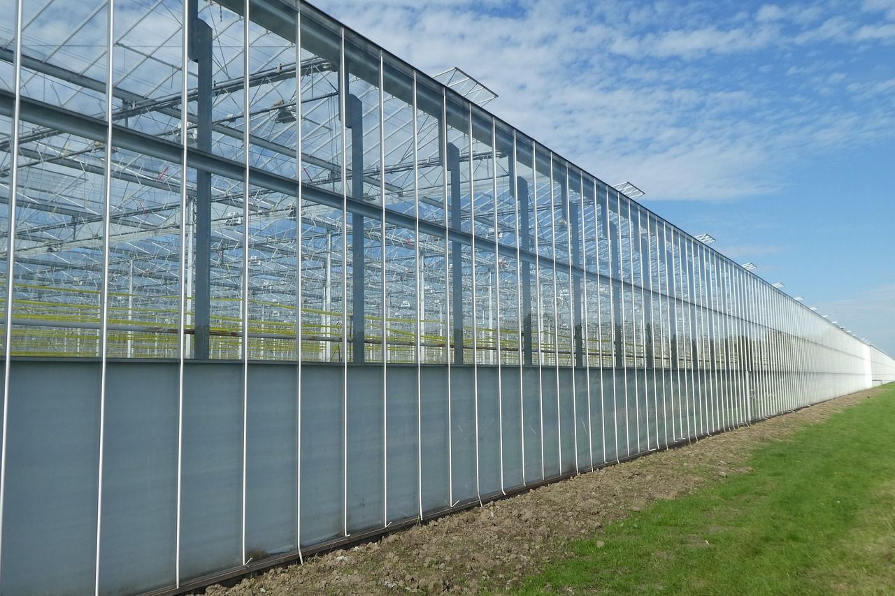
Energy and Utilities
- Solar fields for damaged panels and soiling patterns
- Wind assets for surface inspections were permitted
- Substations and transmission corridors for visual documentation
Construction and Civil Projects
- Earthwork progress tracking
- Stockpile measurements and haul road planning
- Safety planning visuals for staging and access
- Before-and-after documentation for owners and claims
When a job involves height, wide coverage, repeat inspections, or measured visuals, drones are usually the most efficient solution.
What to Expect from Aerial Data Collection Deliverables
Aerial data collection only adds value when files are organized and easy to act on. Before hiring a provider, confirm exactly what you will receive.
A strong delivery package typically includes:
- Clearly labeled folders by date and location
- Photos grouped by asset or area
- Short video clips labeled by viewpoint
- Share links for stakeholders
- Optional annotations with location notes
- File formats compatible with CAD, GIS, or project tools
Mention your software requirements early so exports match your workflow.
FAA-Compliant Drone Operations and Why They Matter
FAA-compliant drone operations protect your project and reduce risk. Compliance affects flight planning, airspace authorization, safety procedures, and documentation.
You should expect a professional operator to:
- Confirm airspace rules for each site
- Use a documented safety plan
- Coordinate with site contacts before launch
- Maintain visual control and safe distances
- Provide proof of credentials and insurance
Key Takeaways
- Professional drone services improve inspection safety and reduce time spent in high-risk areas
- Drone mapping services support site planning with current visuals and measured outputs
- Industrial drone inspections work best for large assets and hard-to-access areas
- Aerial data collection is only valuable when deliverables are organized and usable
- FAA-compliant drone operations reduce risk and support predictable scheduling